Flutter Google Maps Integration | Get Current Location, Markers, Info Windows, Polygons & Polylines
عدد الدروس : 1 عدد ساعات الدورة : 00:50:05 شهادة معتمدة : نعم التسجيل في الدورة للحصول على شهادةللحصول على شهادة
- 1- التسجيل
- 2- مشاهدة الكورس كاملا
- 3- متابعة نسبة اكتمال الكورس تدريجيا
- 4- بعد الانتهاء تظهر الشهادة في الملف الشخصي الخاص بك
قائمة الدروس
عن الدورة
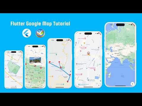
This course teaches you how to fully integrate Flutter with Google Maps Platform to build powerful location-based mobile applications. You will learn how to handle real-world map features step by step, from basic setup to advanced map interactions.
You start by setting up Google Maps in Flutter and configuring the required API keys. Then you implement getting the user’s current location using device GPS, and display it on the map with a custom marker. You will also learn how to manage permissions properly for both Android and iOS.
The course covers adding multiple markers dynamically, customizing info windows to show detailed data when users tap on locations, and updating markers in real time. You will also learn advanced map drawing features such as polygons and polylines, which are used to represent areas, routes, and boundaries in apps like delivery tracking, ride-hailing, and travel planning.
In addition, you will explore camera controls, map animations, and handling user interactions smoothly for a better UX. These skills are essential for building production-ready location-based applications.
By the end of this course, you will be able to build fully interactive Flutter map apps with location tracking, custom markers, shapes, and real-t


